What's in a Ward?
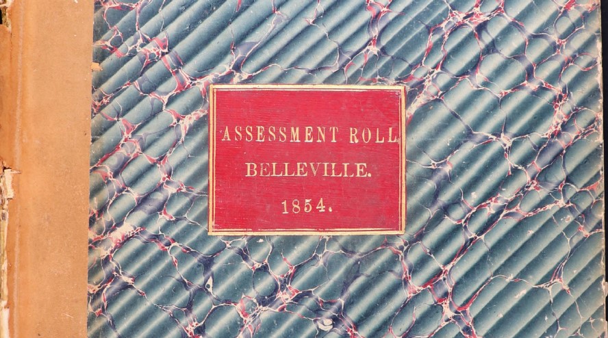
The project to digitize Belleville’s early assessment rolls reached a milestone in April, with all the rolls from 1853 to 1900 now photographed and available online at https://discover.cabhc.ca/assessment-rolls-2. These records are a useful resource for finding out more about the history of Belleville buildings and the lives of people who lived in the city in days gone by. They often list the ages and occupations of former inhabitants of city houses, and even whether they owned a horse or dog!
Belleville is divided into a series of wards and the assessment rolls were drawn up based on the ward boundaries. If you are looking for information on a particular property, you need to know which ward it was located in.
Before 1874 there were four wards in the town: Baldwin, Coleman, Ketcheson and Samson (named after prominent local citizens). In 1874 the boundaries were redrawn to make seven wards: Baldwin, Bleecker, Coleman, Foster, Ketcheson, Murney and Samson. The maps below show the boundaries of the wards as they were initially established by the Municipal Act of 1850, and as they were altered in 1874. They will help in identifying which ward to consult for any location in the city.


We are also making good progress on digiting assessment rolls for other municipalities in Hastings County. Twenty-one volumes for the whole county between the years of 1871 and 1905 are now available online at https://discover.cabhc.ca/assessment-rolls. These are large volumes, with over 600 pages in each. More sparsely-populated areas such as Monteagle or Carlow Townships may have only 12 pages, while Tyendinaga Township was itself divided into five wards, taking up more than 70 pages of each volume.
Contact Us
Community Archives
254 Pinnacle Street
Belleville, Ontario
K8N 3B1
phone: 613-967-3304
email: archives@cabhc.ca