The fire insurance maps produced in the late nineteenth and early twentieth centuries are a valuable resource for researching the history of settlements and buildings. They show all the structures in a locality and are colour-coded and annotated to show the materials that each building was made of.
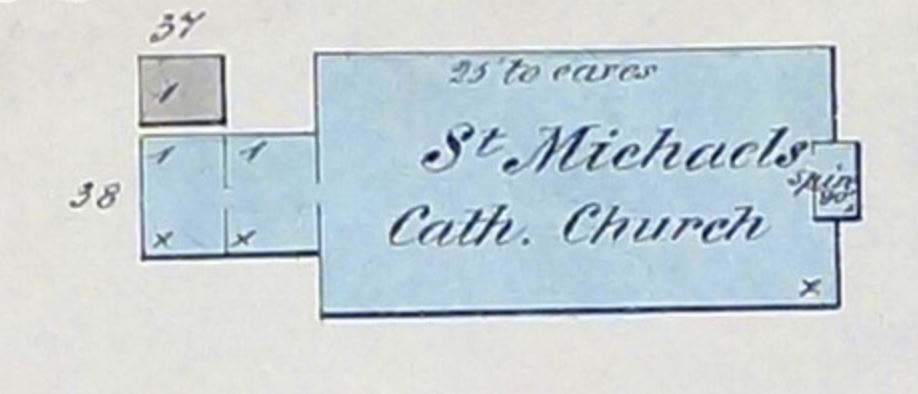
The detail above from the 1878 map shows St. Michael's Roman Catholic Church. The blue colouring tells us that this building was made of stone, while the X in the bottom right corner indicates that it had a shingle roof.
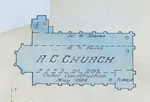
The next map shows a big change in the footprint of the church and notes that it was "Under Construction" in May 1888. The replacement church was taller than the earlier one, by some ten feet. Instead of shingles, the O indicates that the roof was now made of slate.
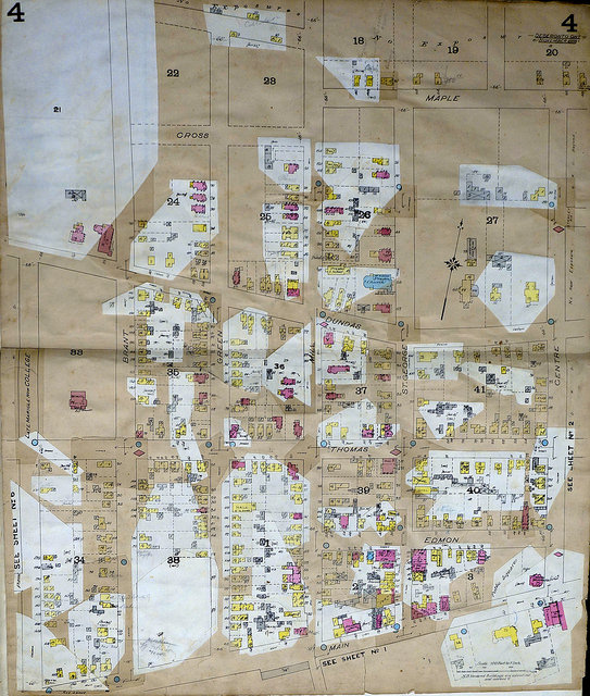
Between one publication and another, the maps were updated with patches to show changes to buildings. You can see the corner of one such patch in the image above, while the map page below carries more than forty patches, representing alterations to buildings in residential Deseronto streets between 1893 and 1911.
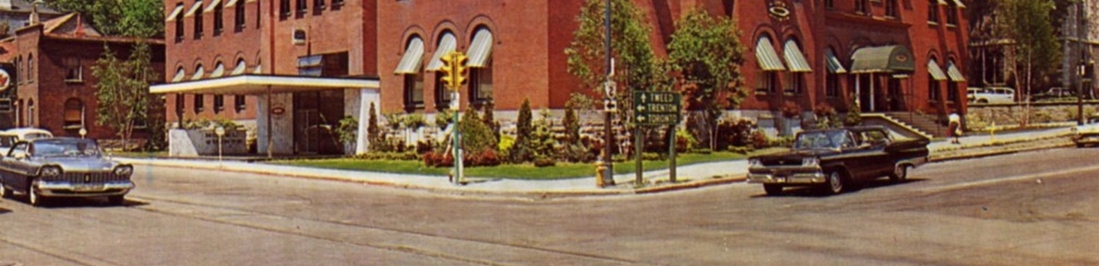
In the Community Archives there are six of these maps for Belleville, ranging in date from 1878 to 1957, and one each for Deseronto* and Stirling. They are one of our most heavily used resources and years of use have resulted in wear and tear to the maps. By photographing the maps, we can share them online and protect the originals from further damage. You can now explore Belleville as it would have been in 1878, 1888, 1904, 1915, 1942 and 1957; Deseronto between 1893 and 1911; and Stirling in 1911.
*Note that the Lennox and Addington County Museum and Archives in Napanee also holds a Deseronto fire insurance plan (from 1893).
Get in touch
Stay up-to-date
Subscribe to this page to get notified when this page has updated content.